
Wuchang, Hankou, and Hanyang developed on different banks. Administration and learning, commercial-port functions, and industrial production gave each area distinct institutions and street patterns.[1][2][3][4]
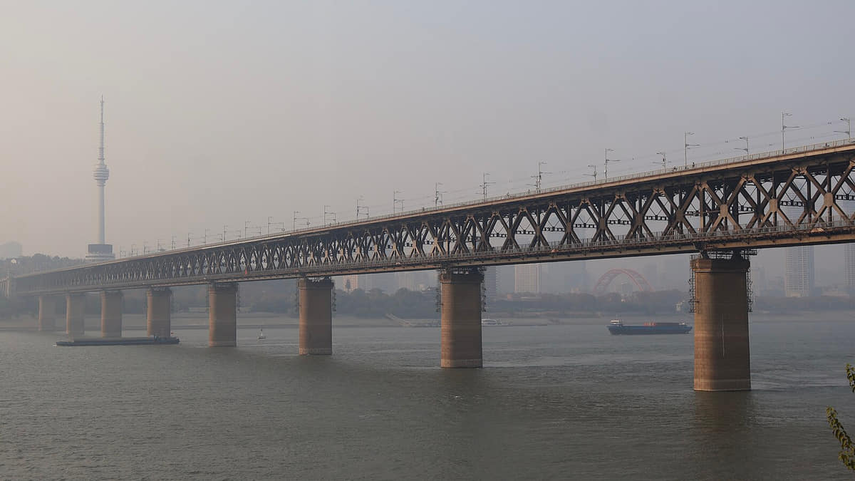
Rivers were not empty gaps. Ferries, docks, levees, markets, floods, and waterfront labor organized everyday movement. The Yangtze River Bridge and later crossings changed travel, but did not erase inherited centers.[1][2][3][4]
Wuhan became one metropolis without becoming one uniform urban center.[1][2][3][4]
Today's Wuhan is polycentric and far larger than the three historic cores. Still, the three-town lens helps explain why crossing water changes architecture, work, memory, food routes, and daily rhythm.[1][2][3][4]
What does this reveal about Wuhan?
Water divides and connects at the same time; the city's identity comes from managing several centers, river systems, lake systems, and histories together.[1][2][3][4]