
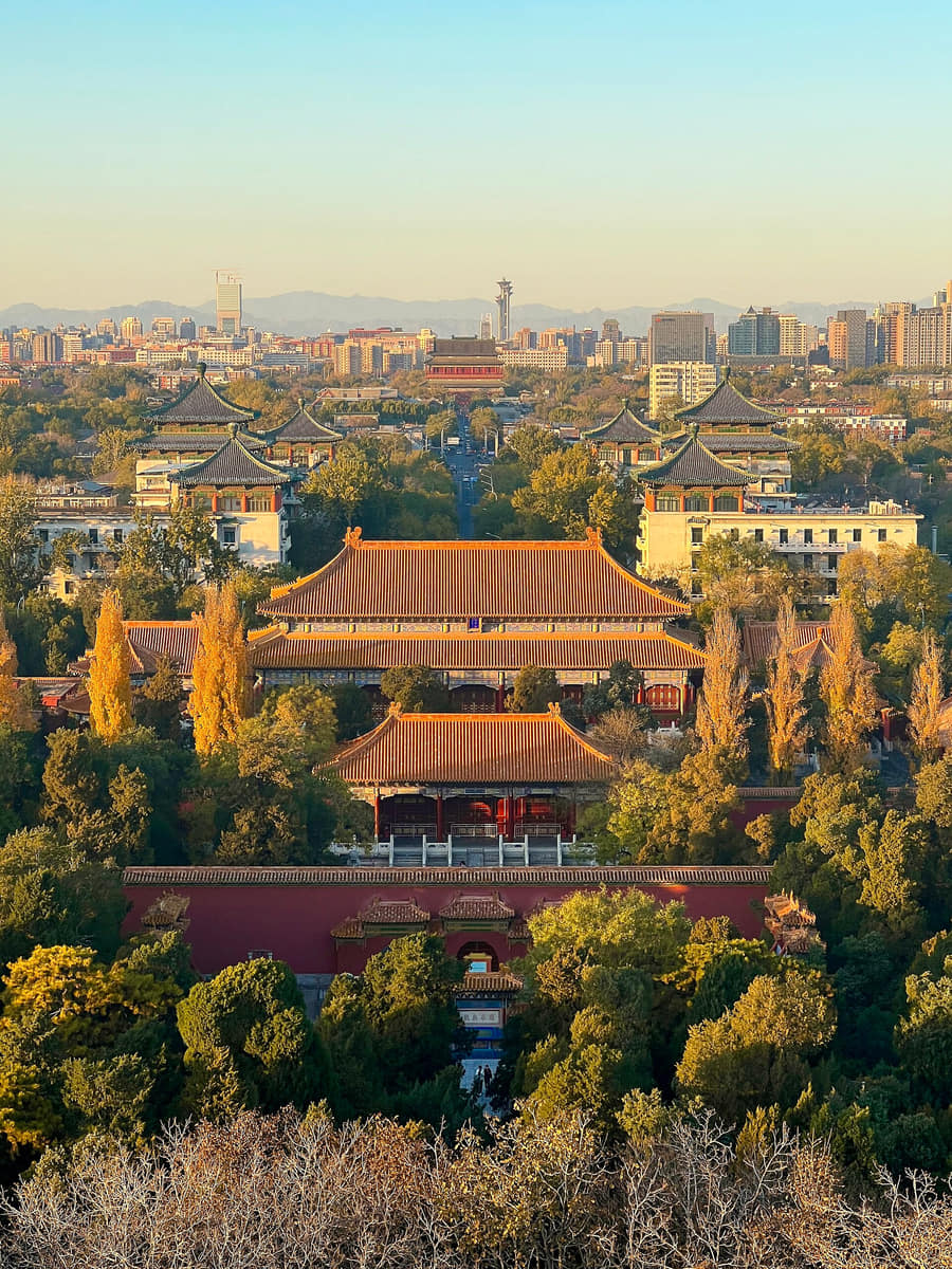
Beijing’s Central Axis runs through the historic core as a sequence rather than a single monument. Gates, palaces, gardens, ritual buildings, public structures, roads, and open spaces establish relationships of direction, hierarchy, and balance.[1][2][3][4]
Walking near the axis also reveals how an inherited plan meets contemporary life. Tourism, conservation, transport, commerce, housing, and public gathering all negotiate the same historic structure.[1][2][3][4]
The Central Axis is not only something to look at; it is a framework for understanding how the capital was ordered and how that order is still experienced.[1][2][3][4]
The axis therefore matters as both heritage and an operating part of the city. It helps explain how planning ideas can remain legible while functions, users, and surrounding neighborhoods continue to change.[1][2][3][4]
What does this reveal about Beijing?
Beijing’s history is embedded in spatial relationships. Reading distance, sequence, symmetry, thresholds, and public use can reveal more than treating each landmark as an isolated attraction.[1][2][3][4]