
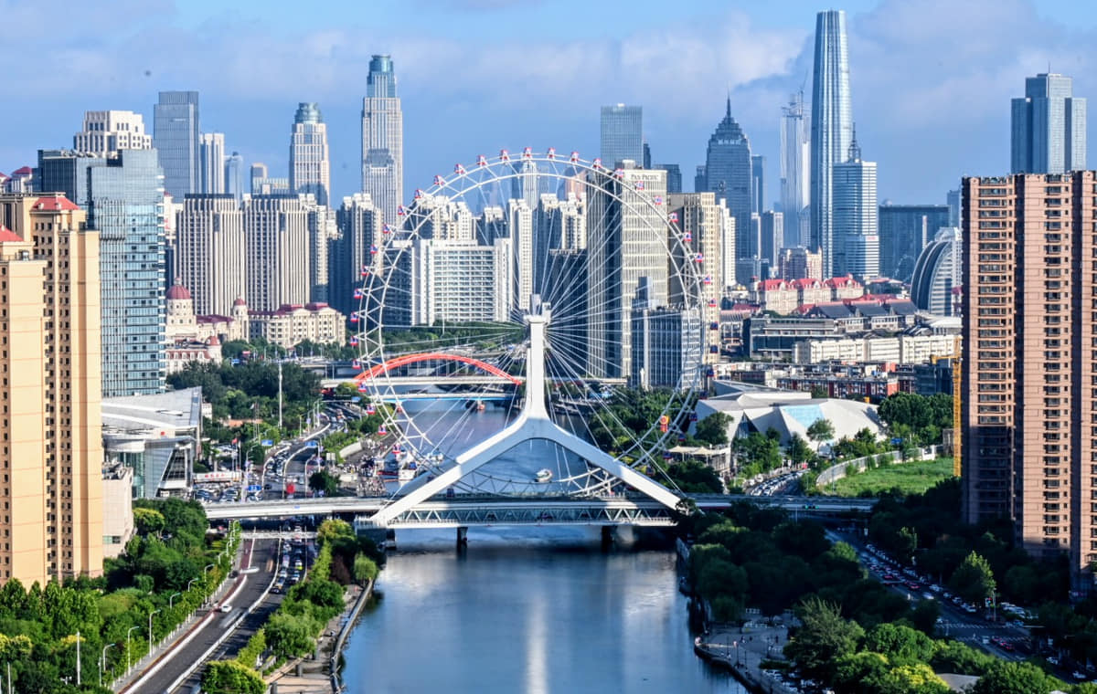
Tianjin grew where waterways from the North China Plain converged on a route toward the Bohai coast. Canal transport made the area strategically important long before modern port construction.[1][2][3][4]
Later shipping, concessions, railways, industry, and finance concentrated new functions along and near the Hai River. Bridges and warehouses became part of a changing metropolitan landscape.[1][2][3][4]
Tianjin's river is not only scenery; it is the route through which trade, infrastructure, settlement, and civic space became connected.[1][2][3][4]
Today the waterfront is also public space, but the river still points toward a wider system of port logistics, coastal districts, wetlands, and regional movement.[1][2][3][4]
What does this reveal about Tianjin?
The city's identity is best understood across several scales: old canal junction, modern riverfront, coastal municipality, and major port.[1][2][3][4]