
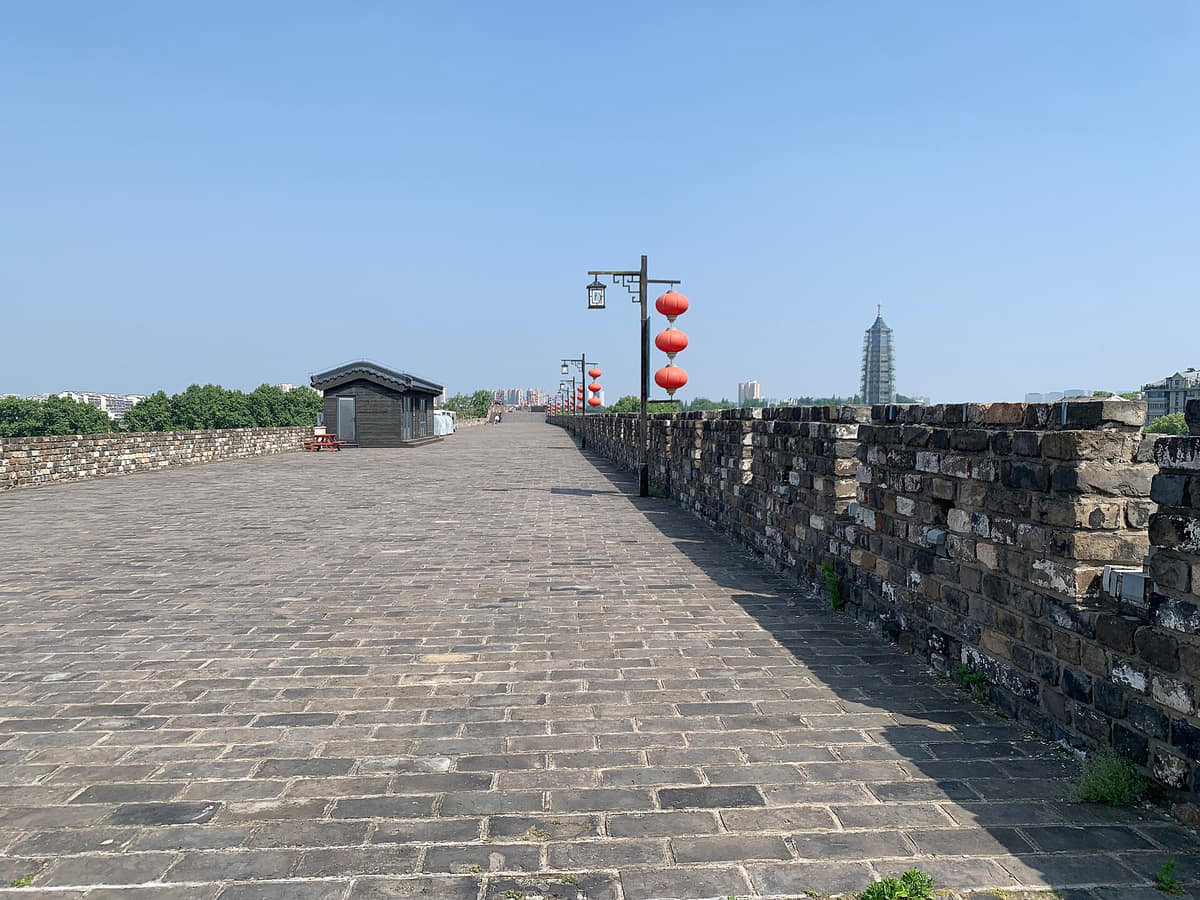
Nanjing's Ming wall did not form a simple geometric enclosure. Builders followed hills and waterways, creating a large irregular system tied to the capital's terrain and defensive needs.[1][2][3][4]
Bricks, gates, river barriers, palace zones, residential areas, and supply routes show that a wall was infrastructure as well as a boundary. Later railways, roads, housing, war damage, and demolition changed its relationship with the city.[1][2][3][4]
Nanjing's wall is less a line around the city than an archive built into its hills, water edges, streets, and neighborhoods.[1][2][3][4]
Surviving sections now frame parks, museums, neighborhoods, lakes, and walking routes. Reading them together reveals not a frozen ancient capital, but a city repeatedly reusing and negotiating a massive inherited structure.[1][2][3][4]
What does this reveal about Nanjing?
The city is best understood as layered adaptation: capital planning, environmental form, modern infrastructure, memory, and daily public use remain physically connected.[1][2][3][4]