
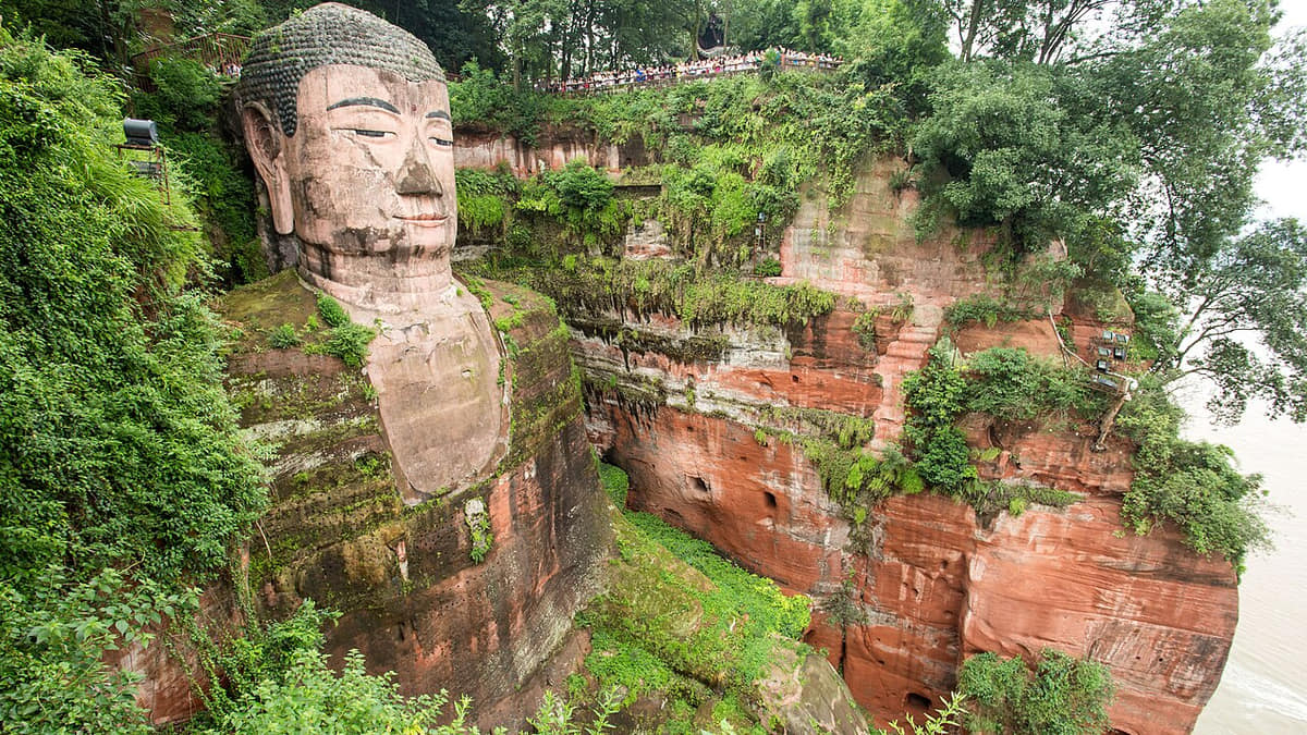
The site joins belief, river safety, cliff geology, labor, transport, engineering, pilgrimage, and modern conservation.[1][2][3][4]
The evidence is distributed across museums, landscapes, working neighborhoods, county routes, and local collections. Reading them together avoids reducing Leshan to one postcard image.[1][2][3][4]
Leshan is best understood as connected systems rather than a single attraction.[1][2][3][4]
The result is a neutral, place-based explanation: it records change, identifies sources, and leaves room for different residents' experiences.[1][2][3][4]
What does this reveal about Leshan?
A three-river city where the Giant Buddha, Mount Emei, living religious landscapes, industrial and farming districts, Yi communities, handmade paper, and a dense food culture must be read at several scales.[1][2][3][4]