
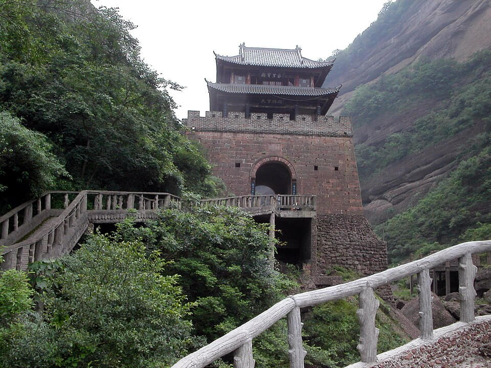
At Guangyuan, paths, passes, rivers, carved cliffs, inns, armies, traders, and today's railways occupy related terrain.[1][2][3][4]
The evidence is distributed across museums, landscapes, working neighborhoods, county routes, and local collections. Reading them together avoids reducing Guangyuan to one postcard image.[1][2][3][4]
Guangyuan is best understood as connected systems rather than a single attraction.[1][2][3][4]
The result is a neutral, place-based explanation: it records change, identifies sources, and leaves room for different residents' experiences.[1][2][3][4]
What does this reveal about Guangyuan?
A northern Sichuan gateway where the ancient Shu Roads, Jianmen Pass, cliff sculpture, river valleys, mountain forests, old towns, and transport corridors remain visible together.[1][2][3][4]