
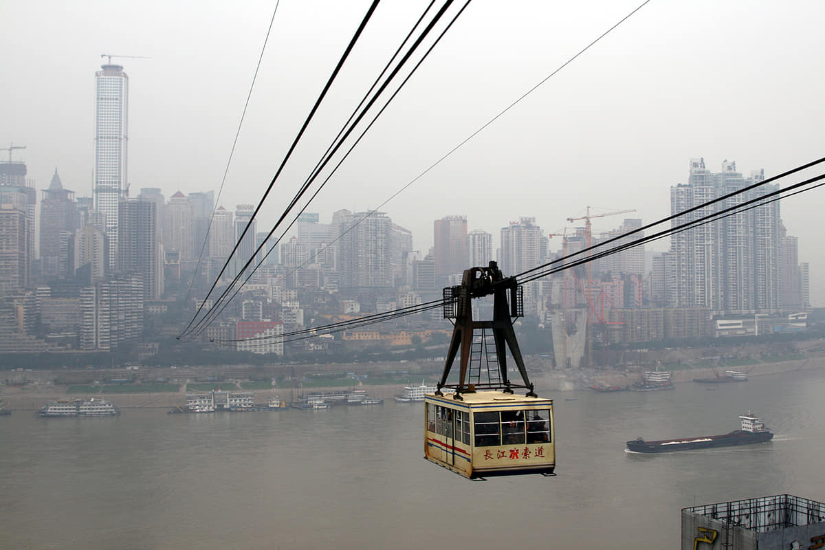
Central Chongqing occupies steep ridges between major rivers. A street that meets the entrance of one building may sit many floors above another road on the downhill side.[1][2][3][4]
The city responds with stairs, ramps, lifts, escalators, tunnels, bridges, cableways, and rail lines that pass through or beside dense structures. These are not visual tricks; they are working connections across difficult terrain.[1][2][3][4]
Chongqing's multiple ground levels are the everyday result of fitting movement and buildings to steep river terrain.[1][2][3][4]
The famous vertical image is only one part of a much larger municipality. Reading the core carefully should lead outward to river towns, reservoir shores, karst, farms, county seats, and mountain communities.[1][2][3][4]
What does this reveal about Chongqing?
Its urban form is easiest to understand as an infrastructure response to terrain, while its full identity requires looking far beyond the central peninsula.[1][2][3][4]