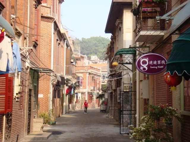
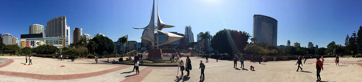
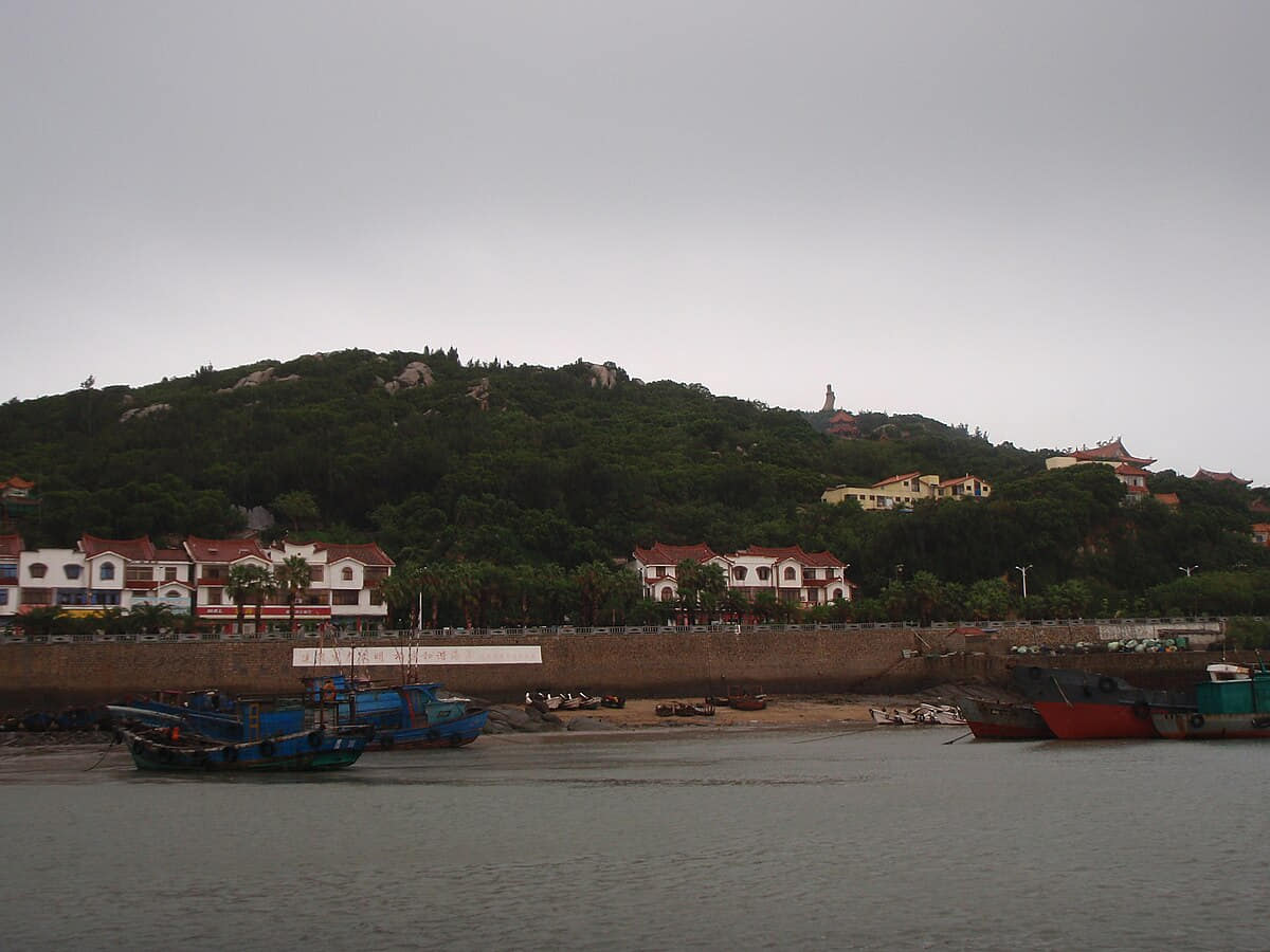
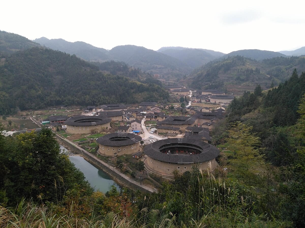
Xiamen is an island-and-estuary city where port trade, overseas migration, Minnan language, Gulangyu's architecture, fishing harbors, wetlands, and mainland districts must be read together.
The province guide is a regional index, not a substitute for the detailed city profiles below. Every listed city retains its own sources, scope, imagery, and editorial review.
The Min River estuary, near-city mountains, humid subtropical ecology, coast, islands, and a thirteen-unit municipality define Fuzhou.
History
Eleven sourced layers move from Tanshishan archaeology and more than two millennia of urban history through Tang street structure, Song timber and maritime growth, Ming–Qing society, treaty-port change, 1866 ship administration, the 1884 battle, twentieth-century disruption and today's thirteen-unit river-coast municipality.
Food and daily life
Fourteen entries explain fish balls, rouyan, Fotiaoqiang, litchi pork, surf clams, guobianhu, laohua, taro paste, red lees, aquatic foods, sweets, Aojiu porridge and jasmine tea through technique, variation, provenance, dietary rules, allergens and current food safety.
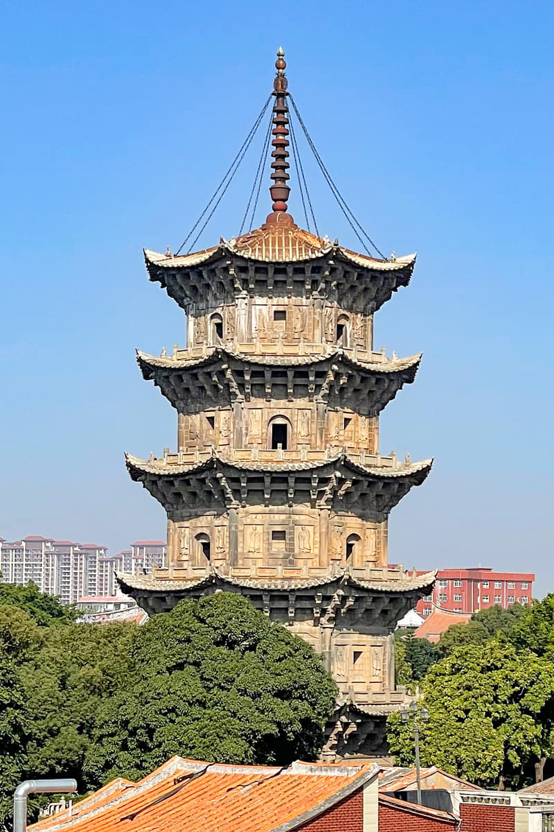
Coast, bays, estuaries, low hills, river valleys, and inland mountains explain Quanzhou's ports, settlements, farming, tea, ceramics, and present industrial geography.
History
Eleven evidence-led layers explain the coastal trading system from its earlier settlement base through the Song–Yuan emporium, infrastructure, communities, production, migration, modern industry and World Heritage stewardship.
Food and daily life
Fourteen entries connect signature foods with coastal ecology, inland counties, technique, traceability, religious requirements, allergens, labor and current safety checks.