Wuhan First-Time Guide: What to See and How to Plan
Plan a first visit to Wuhan with realistic timing, cultural context, priority landmarks, seasonal guidance, and routes that reflect the city's geography.
Two to three days can connect Hankou, Wuchang, and Hanyang without pretending they form one compact center. Use river crossings and metro corridors as the plan, then leave time for a lake, campus, or industrial landscape.
What to prioritize
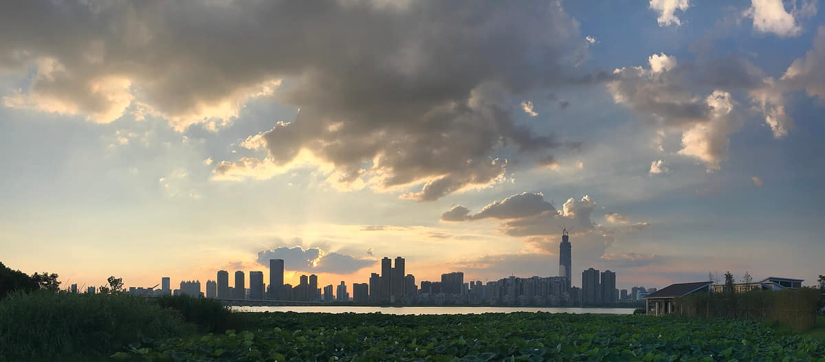
Wuhan is organized by water before it is organized by a skyline. The Yangtze and Han rivers divide and connect Wuchang, Hankou and Hanyang, while lakes, channels, lowlands and embankments shape thirteen districts far beyond the central confluence. The three towns are not interchangeable labels. Hankou's commercial and port history, Wuchang's administrative and university landscapes, and Hanyang's industrial and religious sites developed on different banks before bridges, ferries, rail, roads and metro systems tightened their links. Deep history also sits at different scales. Panlongcheng belongs to local archaeology in Huangpi; Hubei Provincial Museum holds objects from many places across the province; Hankou's protected buildings document modern trade; and the 1957 bridge made metropolitan integration physically visible. A complete guide must therefore move between central streets and outer districts, museums and living practice, famous architecture and ordinary mobility, breakfast counters and wetland forests. Current weather, water level, transport, access and food safety remain live information rather than timeless city facts.
Yangtze–Han confluence and three towns
The primary orientation system: rivers divide and connect Hankou, Wuchang and Hanyang through bridges, ferries, embankments and transit.[6][10]
Yellow Crane Tower
A present reconstruction within a larger park whose literary, visual, garden and tourism layers should be read separately.[20]
Wuhan Yangtze River Bridge
A 1957 road-and-rail crossing that changed metropolitan integration without making ferries or later bridges irrelevant.[19][34]
East Lake and Mount Mo
A lake landscape combining water, hills, greenways, gardens, universities, neighborhoods, research and ecological management.[21][10]
Hubei Provincial Museum
A provincial institution where collection geography must be read object by object rather than equated with Wuhan archaeology.[13][14][15]
Panlongcheng Site Museum
A local archaeological site and museum in Huangpi with walled, palace, burial and workshop evidence from about 3,500 years ago.[12]
Build a realistic first visit
Build each day around Hankou, Wuchang, or Hanyang and one planned river crossing; repeating cross-city trips wastes time and hides the logic of the three towns.
Treat East Lake as a large landscape system with multiple gates and routes, not as a single stop that can be paired casually with distant central attractions.
Use museums and university collections to connect ancient regional history, 1911 memory, modern industry, science, medicine, and contemporary urban life.
Start breakfast exploration early, order in small portions, and confirm queues, ingredients, seating, and hygiene rather than relying on viral shop rankings.
Seasonal orientation
March–May
Spring
Rapid warming, frequent rain, flowers, and changing river levels make flexible lake and neighborhood plans useful.[1][2][3][4]
June–August
Summer
Very hot humid conditions, heavy rain, and flood risk make shade, hydration, indoor stops, and official weather alerts essential.[1][2][3][4]
September–November
Autumn
Clearer and less humid periods favor river crossings, lake greenways, campuses, museums, and long walks.[1][2][3][4]
December–February
Winter
Cold damp spells can feel sharp; museums, food routes, historic interiors, and short waterfront sections combine well.[1][2][3][4]
Why Wuhan belongs in this collection
Wuhan adds the Yangtze–Han confluence, three-town urban form, lakes, universities, industrial history, flood adaptation, museums, and breakfast culture. This guide is a planning layer built from the city’s approved atlas profile rather than a booking or ranking page.