
Shanghai First-Time Guide: What to See and How to Plan
Plan a first visit to Shanghai with realistic timing, cultural context, priority landmarks, seasonal guidance, and routes that reflect the city's geography.
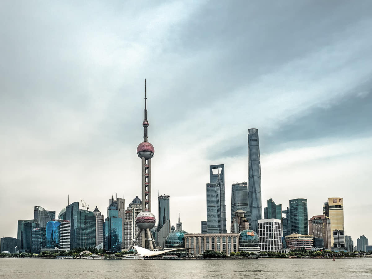
The short answer
Two to three full days give a useful first reading of Shanghai. Pair the Huangpu waterfront with a lane-scale neighborhood and one museum, then use an additional day for an outer district or water landscape.
What to prioritize
Shanghai is a municipality of 16 districts in the Yangtze River Delta. The official 2025 bulletin records 24.8541 million permanent residents at year end, including 15.1091 million registered permanent residents and 9.7450 million non-local permanent residents. Those figures cover dense central districts, suburban towns, industrial and agricultural land, coast, islands and Chongming—not only the familiar skyline. Water organizes the municipality. The Huangpu divides and connects central districts; Suzhou Creek, canals and town rivers retain different histories of movement and settlement; the Yangtze estuary and Chongming add tidal, island and coastal scales. Ferries, bridges, tunnels, embankments, drainage, ports and public waterfronts are related systems, not interchangeable scenery. Shanghai's history is layered rather than linear: archaeological settlements and Jiangnan market towns; county administration and hydraulic works; the treaty-port period, foreign settlements, Chinese commerce and mass migration; industrial production and lilong housing; later metropolitan restructuring; Pudong's post-1990 expansion; and current conservation and adaptive reuse. Each layer affected different people and places unevenly. Climate and live conditions must be separated. Long-term descriptions indicate four distinct seasons, hot humid summers, a plum-rain period and cool damp winters, while typhoons, intense rain, heat, river levels, air quality, ferry service and venue access vary by date and location. This edition provides context; current forecasts, warnings and operator notices remain authoritative for decisions.
The Bund
A Huangpu waterfront where commercial and institutional buildings from different phases face Pudong. Façades, interiors, ownership histories, river engineering, public space and current uses require separate evidence.[2]
Lujiazui
A high-rise district shaped strongly by post-1990 Pudong development. Towers are only one layer: streets, transit, public space, utilities, workers, housing and river access determine how the district functions.[2]
Huangpu–Suzhou Creek confluence
A water-and-infrastructure junction made visible by Waibaidu Bridge, river traffic and opposing waterfronts. Navigation, flood management, water quality, heritage and public access are distinct current systems.[2]
Shikumen and lilong areas
Distributed residential fabrics rather than one attraction. Building type, address, conservation status, occupancy, safety, privacy and redevelopment pressure must be checked at block level.[3]
Wukang Mansion
A prominent pointed-corner apartment building within a living residential district. Exterior appreciation should not obstruct entrances, traffic or residents, and current conservation and access information needs local sources.[3]
Yu Garden and the old city
A designed garden within a wider urban landscape of temples, streets, commerce and housing. Garden structures, surrounding markets and living neighborhoods should not be conflated.[2]
Build a realistic first visit
- Do not treat the Bund skyline as the whole city; cross the river and also enter residential-scale streets.
- Group sights by river crossing or metro corridor because central attractions that look close on a map may involve slow pedestrian approaches.
- Outer districts, water towns, wetlands, and industrial heritage require a different pace from the central shopping and museum areas.
- Typhoon and heavy-rain disruptions are seasonal possibilities, so keep one indoor collection or flexible neighborhood block in reserve.
Seasonal orientation
Spring
Temperatures rise unevenly; rain and humidity increase, while parks and neighborhood walks become more comfortable.[1][2][3][4][5]
Summer
The plum-rain period is followed by sustained heat and humidity; thunderstorms and typhoons can disrupt plans.[1][2][3][4][5]
Autumn
Humidity and heat usually decline, creating good conditions for waterfront and neighborhood walking.[1][2][3][4][5]
Winter
Temperatures are cool rather than northern-China cold, but moisture and limited indoor heating can produce a damp chill.[1][2][3][4][5]