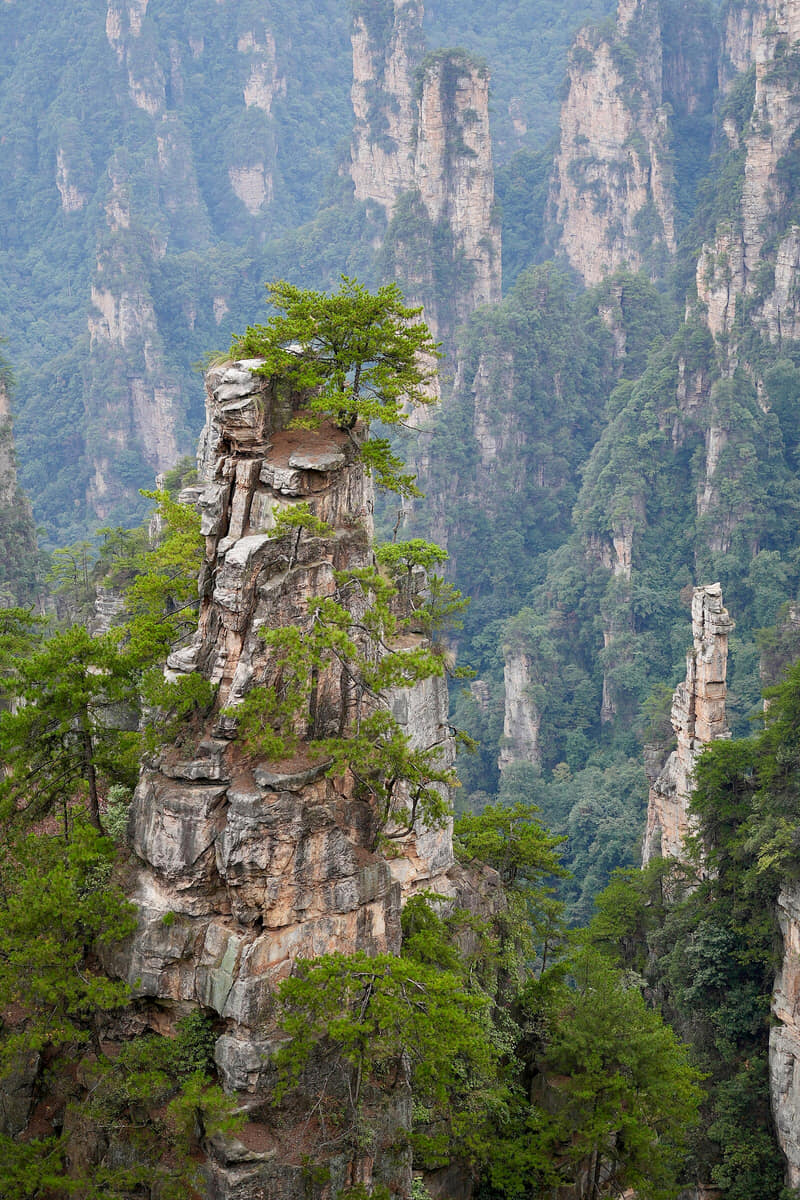
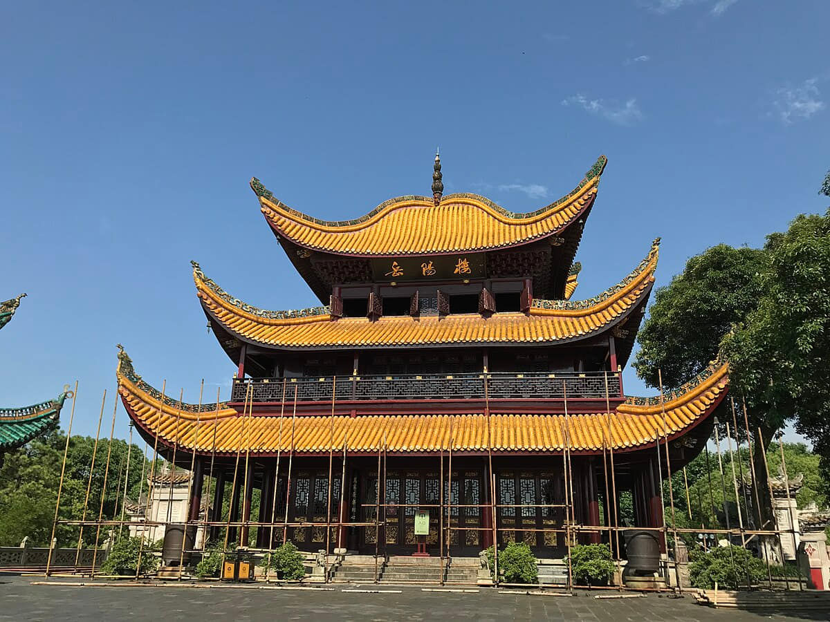
Zhangjiajie is more than sandstone pillars: Wulingyuan's protected landscape, Tianmen Mountain, Tujia and other community traditions, Sangzhi county history, farms, forest work, tourism labor, and access constraints shape the municipality.
The province guide is a regional index, not a substitute for the detailed city profiles below. Every listed city retains its own sources, scope, imagery, and editorial review.
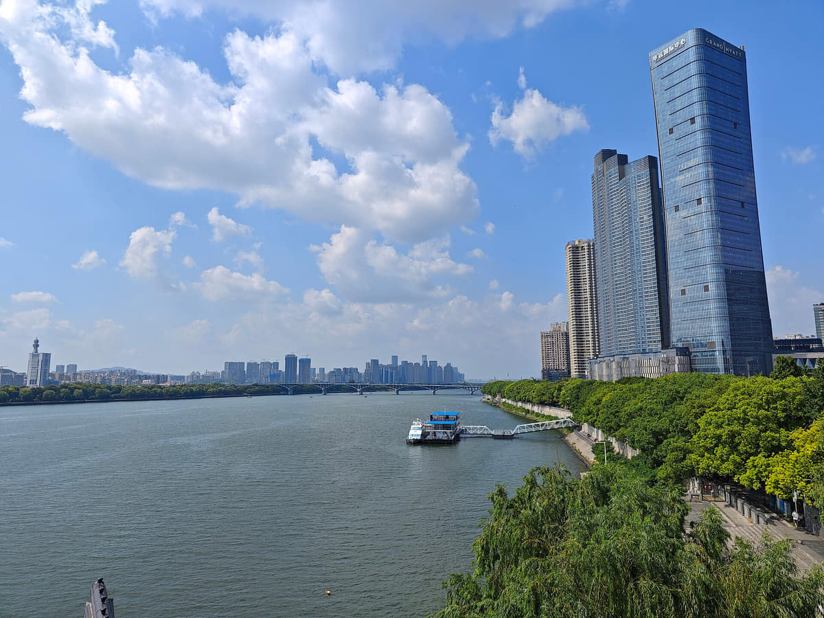
The Xiang River, islands, Yuelu hills, basin plain, county valleys, and nine-unit municipality define Changsha.
History
Eleven sourced layers move from Tanheli and the Xiang basin through Mawangdui, Tongguan ceramics, Yuelu Academy and Zoumalou documents to old-city change, twentieth-century loss and rebuilding, provincial institutions and a contemporary nine-unit metropolis.
Food and daily life
Fourteen entries treat Changsha food as a breakfast, snack, household, county and night-service system: stinky tofu, rice noodles, tangyou baba, buns, pig blood, jelly, pancakes, stir-fries, Liuyang practices and regional circulation, ending with explicit menu-safety guidance. Images are servings, not origin proof or universal recipes.