Province-level guides

Explore Hubei Province

The Yangtze and Han rivers, lake plains, Three Gorges approaches, mountain corridors, industrial cities, and Chu cultural histories connect Hubei.

4published city profiles1A-tier city clustersProvince index reviewed

A-tier planning clusters in this region

Priority cities connect the atlas profile to four focused English planning intents: first visit, seasons, three days, and food.

City coverage

The province guide is a regional index, not a substitute for the detailed city profiles below. Every listed city retains its own sources, scope, imagery, and editorial review.

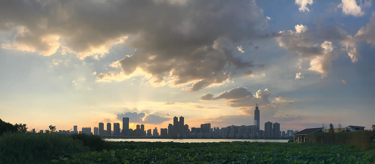
Verified documentary photograph of a landmark in Wuhan
Wuhan武汉Hubei Province
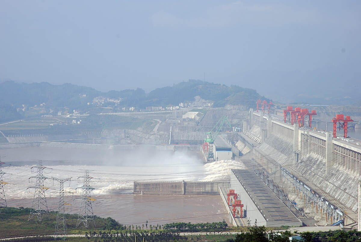
Verified documentary photograph of a landmark in Yichang
Yichang宜昌Hubei Province

Read the region through its cities

Wuhan

Geography
Two major rivers, a dense lake network, low alluvial terrain, interior hills, and thirteen districts define Wuhan.
History
Eleven sourced layers move from river–lake settlement and Panlongcheng through Wuchang, Hanyang and the Han River channel shift, neutral treaty-port and 1911 history, administrative integration, the 1957 bridge, universities and industry, to a contemporary thirteen-district lake metropolis.
Food and daily life
Fourteen entries treat breakfast as a system rather than one icon: hot-dry noodles, three-fresh doupi, mianwo, shaomei, soup dumplings, beef noodles, fermented-rice foods, lotus-root soup, fish, duck and wetland ingredients, followed by menu-safety guidance. Images are servings, not origin proof or universal recipes.

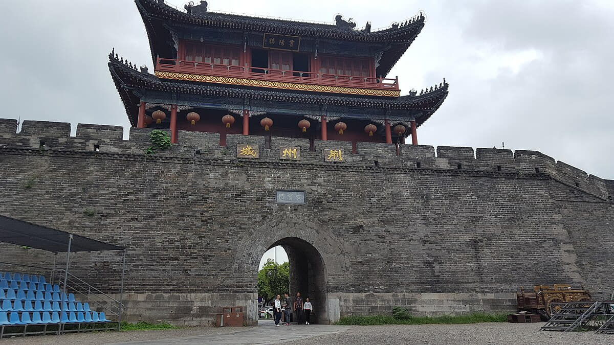
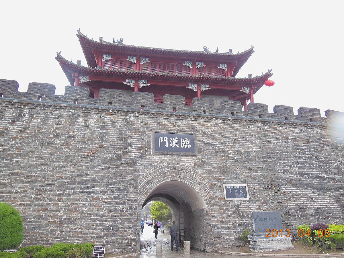
Jingzhou

Geography
Four spatial relationships define Jingzhou.
History
Five dated layers connect material evidence with present urban and county form.
Food and daily life
Six locally named food records connect ingredients, technique, work, markets, and social settings.

Xiangyang

Geography
Four spatial relationships define Xiangyang.
History
Five dated layers connect material evidence with present urban and county form.
Food and daily life
Six locally named food records connect ingredients, technique, work, markets, and social settings.

Yichang

Geography
Four spatial relationships define Yichang.
History
Five dated layers connect material evidence with present urban and county form.
Food and daily life
Six locally named food records connect ingredients, technique, work, markets, and social settings.