
Lhasa First-Time Guide: What to See and How to Plan
Plan a first visit to Lhasa with realistic timing, cultural context, priority landmarks, seasonal guidance, and routes that reflect the city's geography.
The short answer
Allow at least three unhurried days after arrival and keep the first day light for altitude adjustment. Separate major religious institutions, neighborhood-scale pilgrimage routes, and outer-valley excursions instead of building a dense checklist.
What to prioritize
Lhasa's core occupies terraces beside the Lhasa River at high altitude, where mountains, thin air, strong sun, dry conditions, irrigated fields, and large temperature ranges structure daily life. Potala, Jokhang, Barkhor, Norbulingka, monasteries, and museums are essential, but they remain connected to residents, worshippers, shops, schools, services, transport, conservation, and visitors. Five outer counties extend the story into grasslands, farming valleys, high passes, towns, and remote communities. The city must be read at two scales: a high-altitude urban valley of homes, schools, markets, parks and institutions, and a much larger municipality of farming valleys, grasslands, high passes, monasteries, county towns and remote settlements. Altitude is an operating condition, not a visual theme. Acclimatization, ultraviolet exposure, hydration, medical needs, road weather, temple rules, photography limits and opening information require current, site-specific checks.
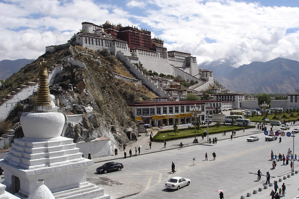
Potala Palace
A hillside architectural ensemble combining religious and administrative histories, engineering, art, collections, pilgrimage, conservation, and city image.[1][2][3][4][5][6]
Jokhang Temple and Barkhor
A living old-city landscape where worship, circumambulation, trade, residence, tourism, conservation, and crowd management meet.[1][2][3][4][5][6]
Norbulingka
Palaces and gardens connect seasonal residence, art, water, vegetation, ritual, restoration, and public visitation.[1][2][3][4][5][6]
Tibet Museum
Collections and research provide essential context for archaeology, art, documents, material culture, conservation, and regional histories.[1][2][3][4][5][6]
Lhasa River
Terraces, wetlands, irrigation, bridges, settlements, roads, flood systems, agriculture, and mountain views explain the valley city.[1][2][3][4][5][6]
County landscapes
Damxung grasslands, high passes, monasteries, villages, farms, hot springs, mining areas, and county towns show the municipality beyond the core.[1][2][3][4][5][6]
Build a realistic first visit
- Build acclimatization into the itinerary, avoid intense exertion on arrival, hydrate sensibly, and seek qualified medical help for serious or worsening altitude symptoms.
- Religious sites are active institutions; current etiquette, photography rules, prayer circulation, dress, closures, and community priorities take precedence over sightseeing plans.
- Strong ultraviolet exposure, dry air, cold nights, monsoon rain, and rapid weather change require layered clothing and conservative outdoor timing in every season.
- Permits, identification requirements, transport rules, opening arrangements, and route access can change, so verify them through current authorized channels before travel.
Seasonal orientation
Spring
Wind, dust, intense sun, cold mornings, and gradual greening require layers, sun protection, hydration, and cautious acclimatization.[1][2][3][4]
Summer
Days are relatively mild, most rain falls at night or in storms, and mountain travel requires current weather and road information.[1][2][3][4]
Autumn
Clear skies, strong light, cold nights, and dry air favor valley views while requiring sun and cold protection.[1][2][3][4]
Winter
Sunny days can contrast with freezing nights, dry air, thin oxygen, and snow or ice on higher routes.[1][2][3][4]