
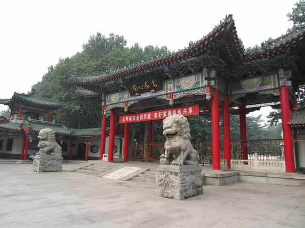
Material from Zhao and Yecheng, kiln production, grottoes, walled towns, tai chi schools, industry, and farming show that Handan's past survives through several different institutions and landscapes.[1][2][3][4]
Evidence is distributed across Taihang Mountain eastern valleys, Zhang River and alluvial plain, Guangfu wetland and lowland, Western industrial hills and eastern counties, as well as museums, working neighborhoods, district and county routes, and local collections.[1][2][3][4]
Handan is best understood as connected systems rather than a single attraction.[1][2][3][4]
The account distinguishes documented facts from interpretation, avoids political positioning and fixed community stereotypes, and leaves room for different residents' experiences.[1][2][3][4]
What does this reveal about Handan?
Handan combines Zhao and Yecheng archaeology, Cizhou kilns, Guangfu's water landscape and tai chi traditions, Taihang valleys, industrial districts, and a broad agricultural plain.[1][2][3][4]