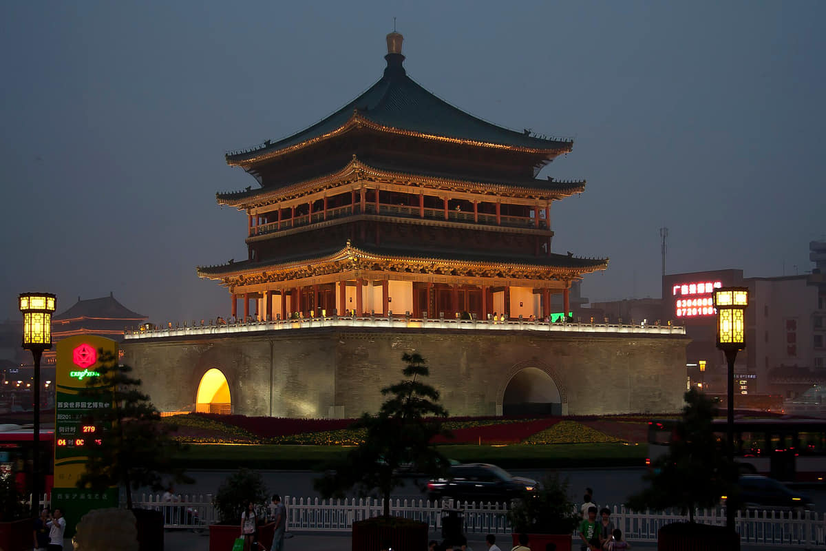
Xi'an is Shaanxi's capital and a 13-unit municipality on the Guanzhong Plain. Chang'an history, the Qinling edge, archaeology, neighborhood food and contemporary life extend far beyond the walled core.
The province guide is a regional index, not a substitute for the detailed city profiles below. Every listed city retains its own sources, scope, imagery, and editorial review.
The Wei River plain, Qinling foothills, waterways, and a broad metropolitan footprint frame both ancient settlement and present growth.
History
Eleven sourced layers connect Neolithic settlement, Zhou centers, the Qin mausoleum, Han Chang'an, Sui–Tang planning, Silk Roads networks, post-capital change, the Ming wall, rail-era transformation, 20th-century expansion and the contemporary metropolis without treating every later reconstruction as ancient fabric.
Food and daily life
Fourteen entries place noodles, breads, soups, cold-dressed staples, pastries, condiments and migrant kitchens within technique, community attribution, ingredients, allergens, labor, regulation and the complete food system.