Province-level guides

Explore Inner Mongolia Autonomous Region

Steppe, desert, forest, river bends, mining and industrial cities, farming plains, banners, and multi-community histories stretch across Inner Mongolia.

4published city profiles0A-tier city clustersProvince index reviewed

City coverage

The province guide is a regional index, not a substitute for the detailed city profiles below. Every listed city retains its own sources, scope, imagery, and editorial review.

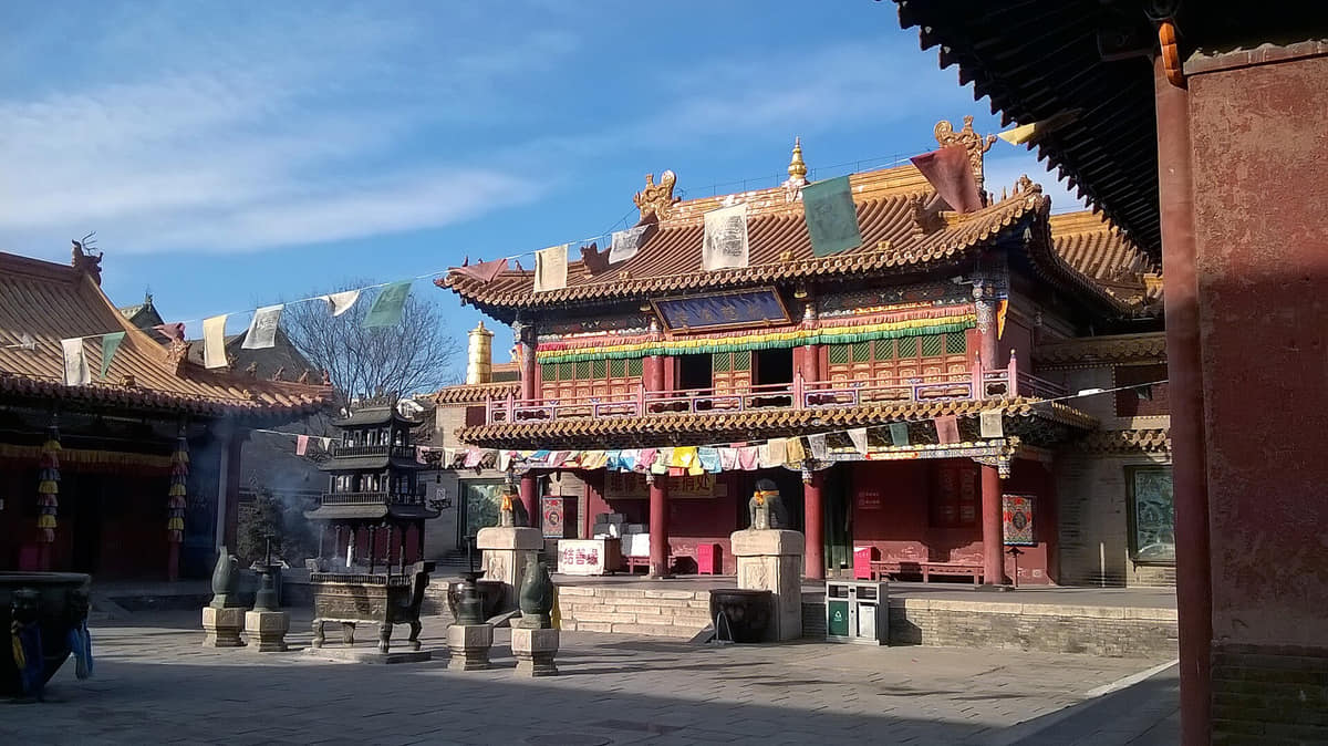
Verified documentary photograph of a landmark in Baotou
Baotou包头Inner Mongolia Autonomous Region
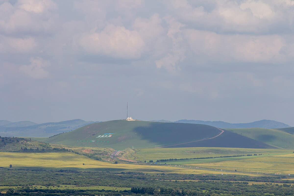
Verified documentary photograph of a landmark in Hohhot
Hohhot呼和浩特Inner Mongolia Autonomous Region
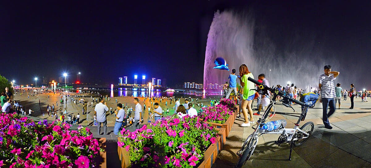
Verified documentary photograph of a landmark in Hulunbuir
Hulunbuir呼伦贝尔Inner Mongolia Autonomous Region
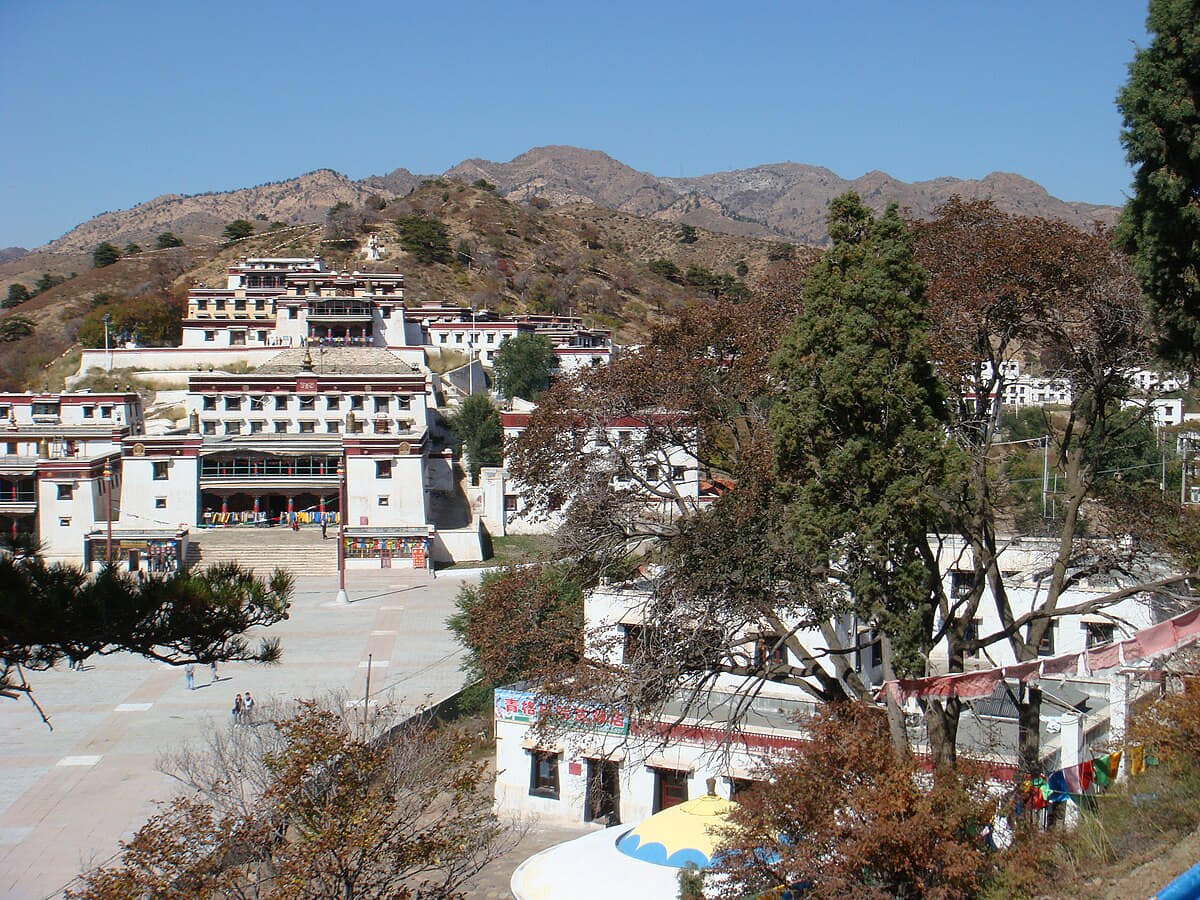
Verified documentary photograph of a landmark in Ordos
Ordos鄂尔多斯Inner Mongolia Autonomous Region

Read the region through its cities

Baotou

Geography
Four spatial relationships define Baotou.
History
Five dated layers connect material evidence with present urban and county form.
Food and daily life
Six locally named food records connect ingredients, technique, work, markets, and social settings.

Hohhot

Geography
Mountain front, dry continental climate, the Tumochuan Plain, and a mixed urban–rural municipality define Hohhot's setting.
History
Eleven evidence-led layers move from Dayao archaeology and the mountain–plain route system through Zhaojun memory, Fengzhou and the White Pagoda, the late-sixteenth-century Tumed city, Qing twin-city institutions, modern transport and today's nine-unit municipality.
Food and daily life
Fourteen entries move from milk tea, lamb shaomai and sheep-meat kitchens to dairy, grain, county supply, industrial processing, dietary communication, traceability, labor and live safety checks.

Hulunbuir

Geography
Four spatial relationships define Hulunbuir.
History
Five dated layers connect material evidence with present urban and county form.
Food and daily life
Six locally named food records connect ingredients, technique, work, markets, and social settings.

Ordos

Geography
Four spatial relationships define Ordos.
History
Five dated layers connect material evidence with present urban and county form.
Food and daily life
Six locally named food records connect ingredients, technique, work, markets, and social settings.