Province-level guides

Explore Hebei Province

Great Wall corridors, the North China Plain, mountain basins, imperial landscapes, ports, industry, and cities surrounding Beijing and Tianjin shape Hebei.

6published city profiles0A-tier city clustersProvince index reviewed

City coverage

The province guide is a regional index, not a substitute for the detailed city profiles below. Every listed city retains its own sources, scope, imagery, and editorial review.

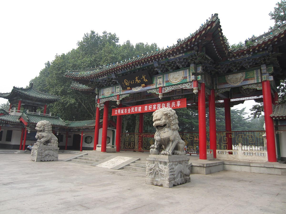
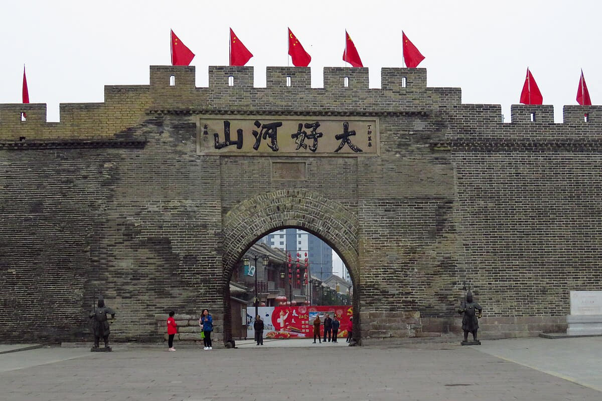
Verified documentary photograph of a landmark in Baoding
Baoding保定Hebei Province
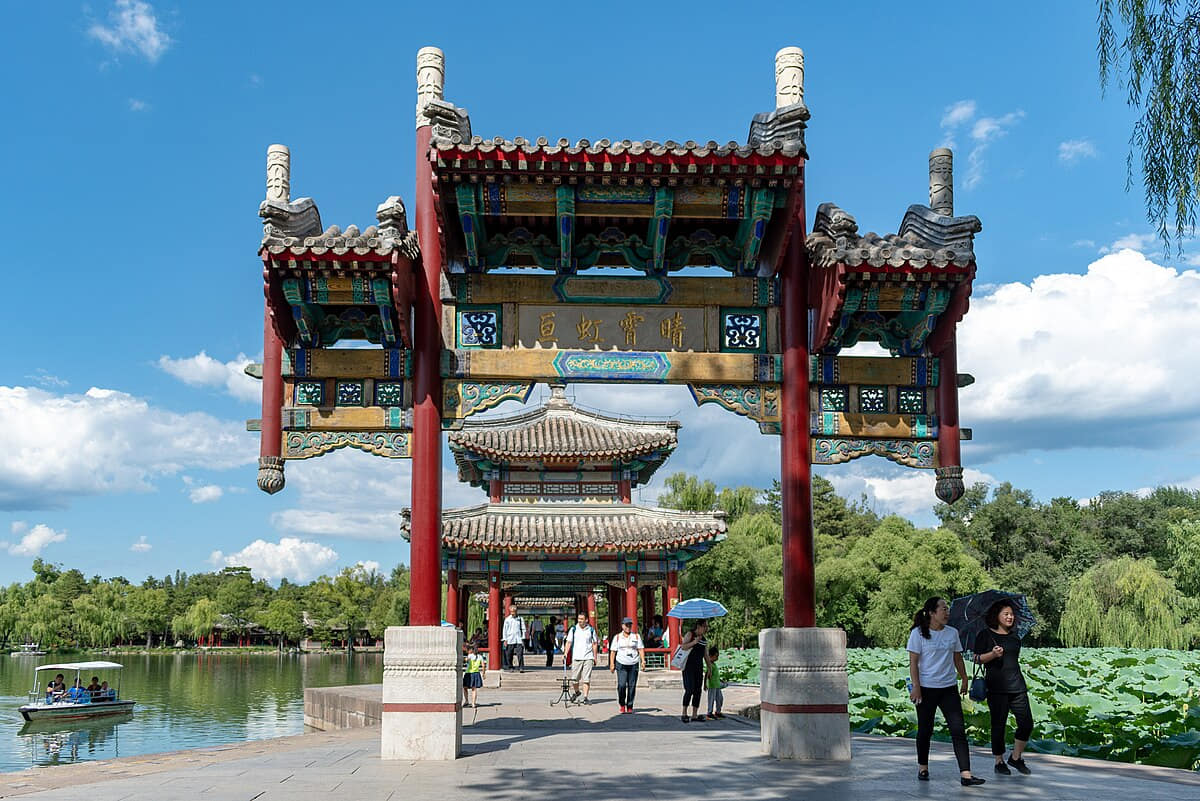
Verified documentary photograph of a landmark in Chengde
Chengde承德Hebei Province
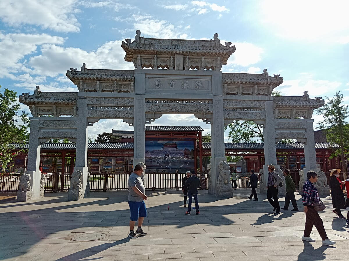
Verified documentary photograph of a landmark in Handan
Handan邯郸Hebei Province

Read the region through its cities

Baoding

Geography
Four spatial relationships define Baoding.
History
Five dated layers connect material evidence with present urban and county form.
Food and daily life
Six locally named food records connect ingredients, technique, work, markets, and social settings.

Chengde

Geography
Four spatial relationships define Chengde.
History
Five dated layers connect material evidence with present urban and county form.
Food and daily life
Six locally named food records connect ingredients, technique, work, markets, and social settings.

Handan

Geography
Four spatial relationships define Handan.
History
Five dated layers connect material evidence with present urban and county form.
Food and daily life
Six locally named food records connect ingredients, technique, work, markets, and social settings.

Qinhuangdao

Geography
Four spatial relationships define Qinhuangdao.
History
Five dated layers connect material evidence with present urban and county form.
Food and daily life
Six locally named food records connect ingredients, technique, work, markets, and social settings.

Shijiazhuang

Geography
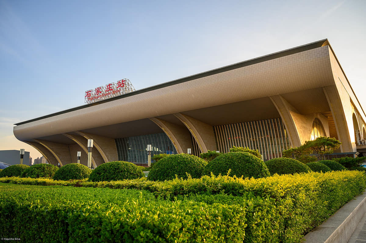
Shijiazhuang connects a rail-oriented plain city with the Hutuo River, agricultural counties, reservoirs, historic towns, and the Taihang mountain edge.
History
Eleven evidence-led layers move from archaeology and ancient states through Zhaozhou Bridge, Zhengding, Taihang routes, railway-built Shimen, twentieth-century institutions and today's 22-unit municipality.
Food and daily life
Fourteen entries move from wheat systems and county specialties to technique, banquet variability, old brands, allergens, dietary respect, traceability, labor and live food-safety checks.

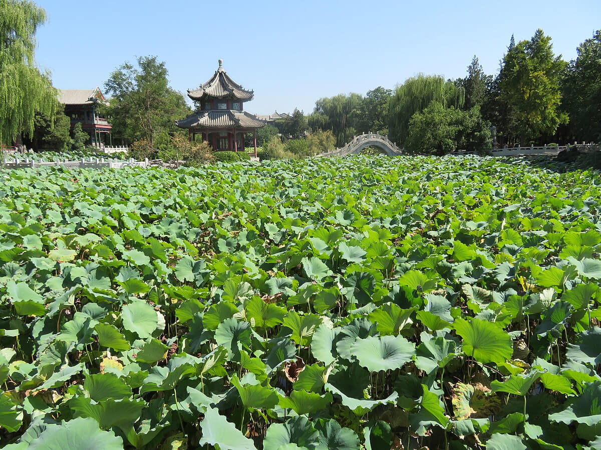
Zhangjiakou

Geography
Four spatial relationships define Zhangjiakou.
History
Five dated layers connect material evidence with present urban and county form.
Food and daily life
Six locally named food records connect ingredients, technique, work, markets, and social settings.