Province-level guides

Explore Guangxi Zhuang Autonomous Region

Karst basins, the Xijiang river system, Gulf of Tonkin coast, multi-community histories, border routes, and subtropical cities shape Guangxi.

4published city profiles1A-tier city clustersProvince index reviewed

A-tier planning clusters in this region

Priority cities connect the atlas profile to four focused English planning intents: first visit, seasons, three days, and food.

City coverage

The province guide is a regional index, not a substitute for the detailed city profiles below. Every listed city retains its own sources, scope, imagery, and editorial review.

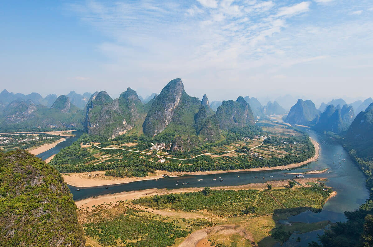
Verified documentary photograph of a landmark in Guilin
Guilin桂林Guangxi Zhuang Autonomous Region
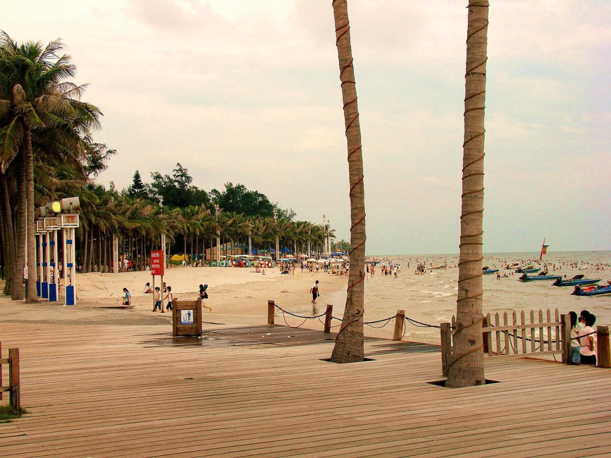
Verified documentary photograph of a landmark in Beihai
Beihai北海Guangxi Zhuang Autonomous Region
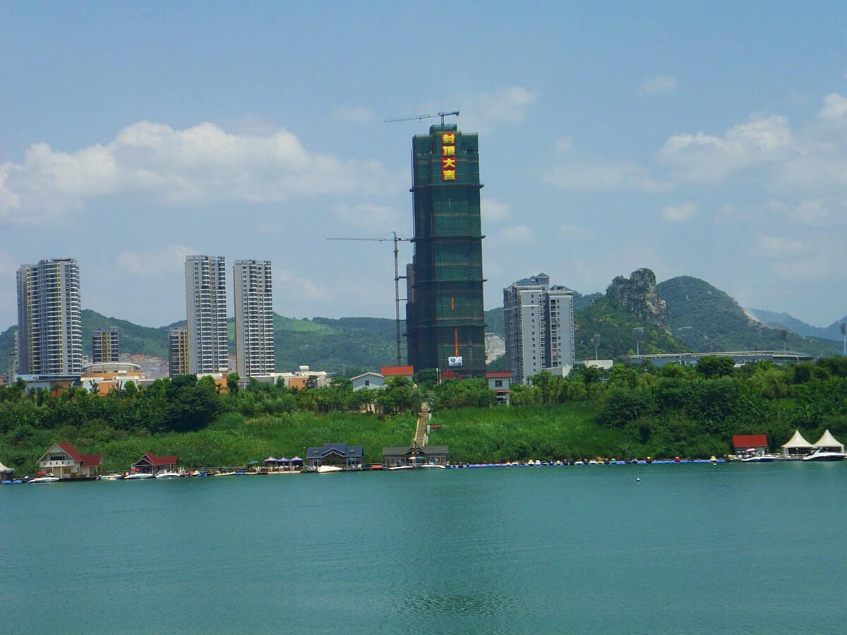
Verified documentary photograph of a landmark in Liuzhou
Liuzhou柳州Guangxi Zhuang Autonomous Region
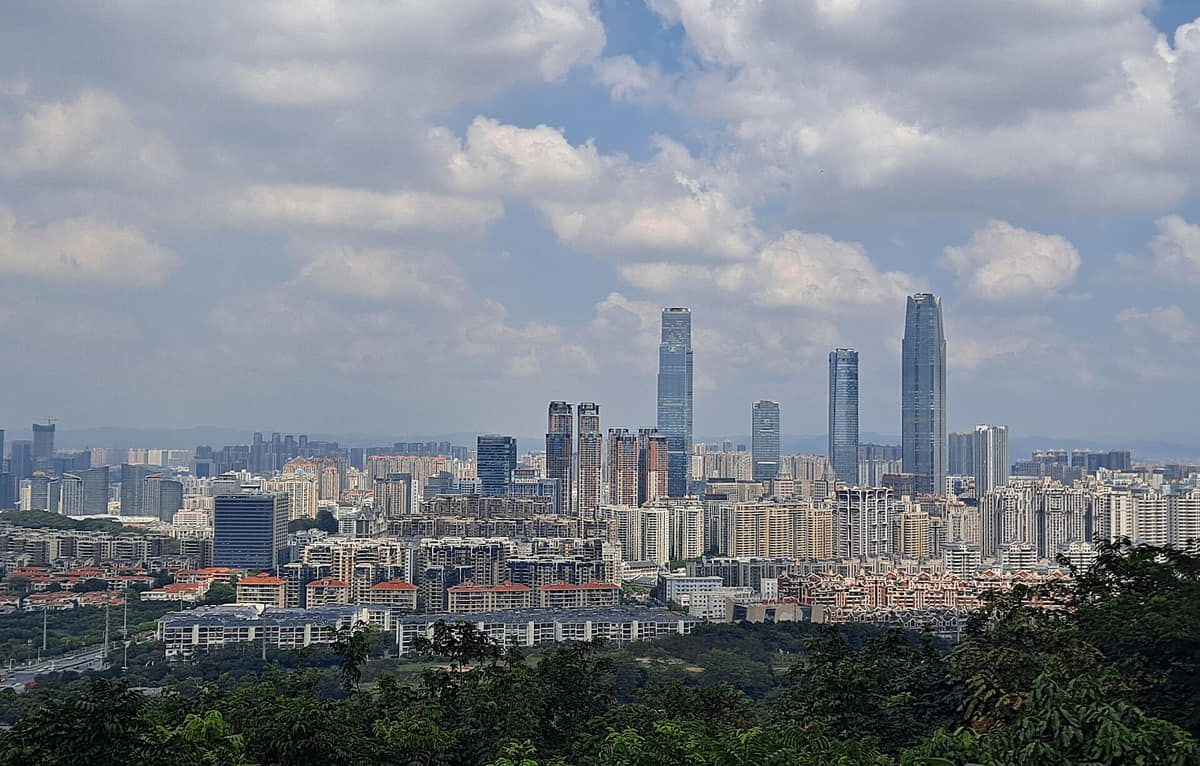
Verified documentary photograph of a landmark in Nanning
Nanning南宁Guangxi Zhuang Autonomous Region

Read the region through its cities

Guilin

Geography
Four spatial relationships define Guilin.
History
Five time layers connect surviving places with current urban and county form.
Food and daily life
Six locally specific food records connect ingredients, work, markets, and social routines.

Beihai

Geography
Four spatial relationships define Beihai.
History
Five dated layers connect material evidence with present urban and county form.
Food and daily life
Six locally named food records connect ingredients, technique, work, markets, and social settings.

Liuzhou

Geography
Four spatial relationships define Liuzhou.
History
Five dated layers connect material evidence with present urban and county form.
Food and daily life
Six locally named food records connect ingredients, technique, work, markets, and social settings.

Nanning

Geography
Yong River, tributaries, subtropical hills, karst edges, basins, farmland, and twelve county-level units define Nanning.
History
Eleven sourced layers move from river, basin and karst geography through archaeology, Yongzhou and walled-city formation, river trade, guild halls, outer settlements, modern roads and public institutions, disruption and rebuilding, multi-centre growth, and the exact end-2025 twelve-unit municipality.
Food and daily life
Fourteen entries treat Nanning food as a municipal system of rice-noodle production, fermentation, pickling, county products, household and festival practice, markets and regional circulation. Laoyou noodles, raw-pressed noodles, suanye, lemon duck and five-colour rice receive image-backed treatment, with explicit provenance, allergen and current-safety limits.