Province-level guides

Explore Gansu Province

The Yellow River corridor, Hexi oases, Silk Roads sites, loess uplands, desert margins, and highland communities form a long east–west geography.

4published city profiles0A-tier city clustersProvince index reviewed

City coverage

The province guide is a regional index, not a substitute for the detailed city profiles below. Every listed city retains its own sources, scope, imagery, and editorial review.

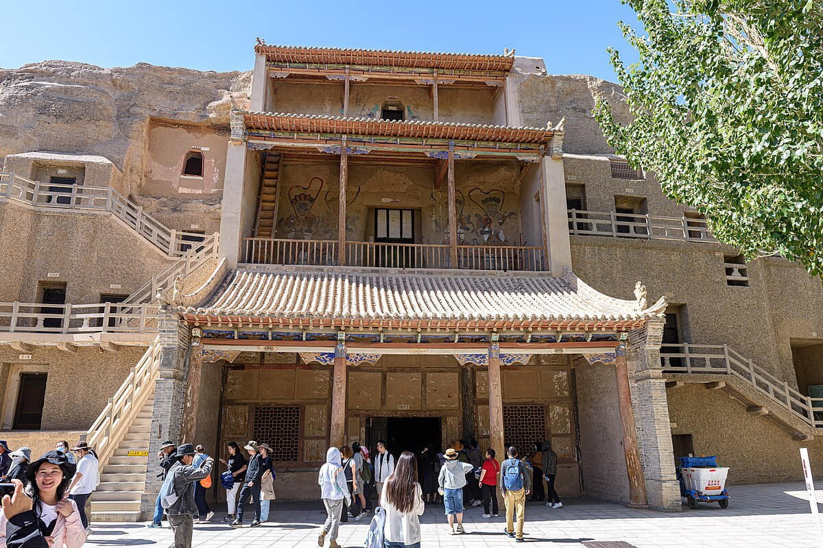
Verified documentary photograph of a landmark in Jiuquan
Jiuquan酒泉Gansu Province
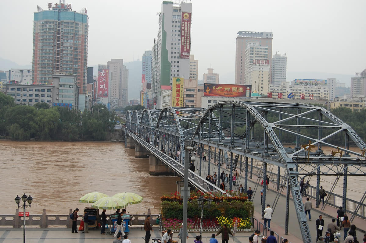
Verified documentary photograph of a landmark in Lanzhou
Lanzhou兰州Gansu Province
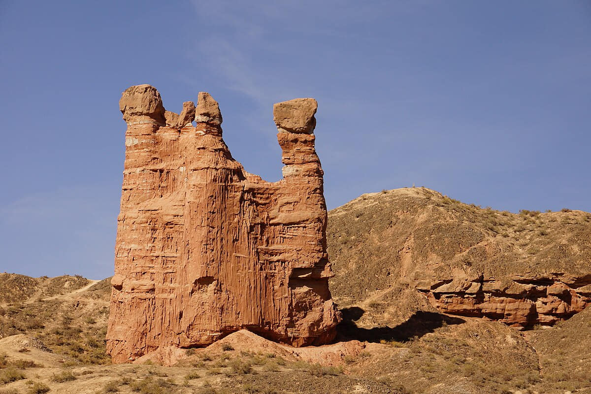
Verified documentary photograph of a landmark in Zhangye
Zhangye张掖Gansu Province

Read the region through its cities

Jiuquan

Geography
Four spatial relationships define Jiuquan.
History
Five dated layers connect material evidence with present urban and county form.
Food and daily life
Six locally named food records connect ingredients, technique, work, markets, and social settings.

Lanzhou

Geography
A narrow Yellow River valley, dry mountain edges, loess terrain, limited flat land, and eight county-level units define Lanzhou.
History
River crossings, long-distance routes, irrigation, bridge construction, industry, rail, universities, and contemporary regional transport form visible layers.
Food and daily life
Beef noodles, cold wheat foods, mutton, fermented grains, breads, market snacks, and dishes from across Gansu shape a precise and varied table.

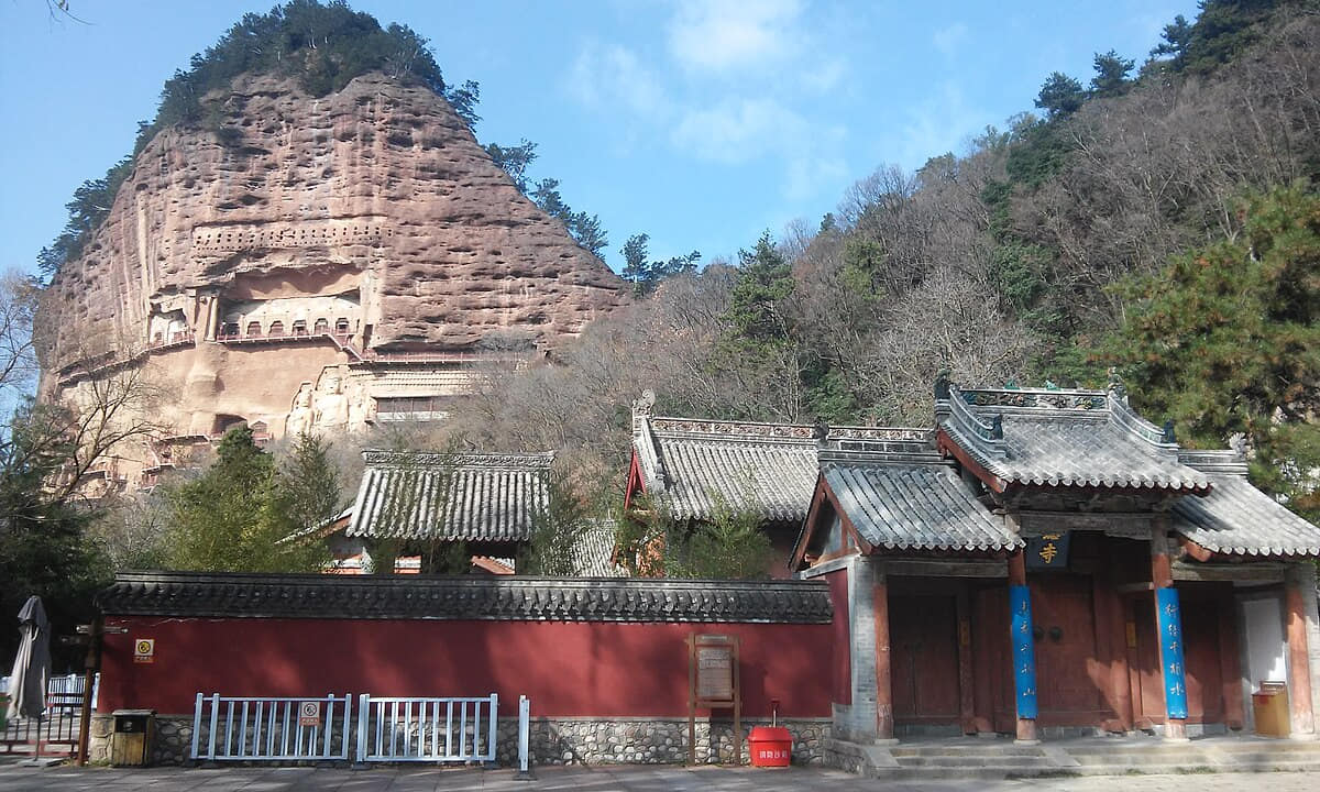
Tianshui

Geography
Four spatial relationships define Tianshui.
History
Five dated layers connect material evidence with present urban and county form.
Food and daily life
Six locally named food records connect ingredients, technique, work, markets, and social settings.

Zhangye

Geography
Four spatial relationships define Zhangye.
History
Five dated layers connect material evidence with present urban and county form.
Food and daily life
Six locally named food records connect ingredients, technique, work, markets, and social settings.