
Shenzhen · Three-day itinerary

3 Days in Shenzhen: A Culture-First Itinerary

A realistic three-day Shenzhen itinerary connecting geography, history, neighborhoods, food, museums, landscapes, and everyday public life.
Updated 2026-07-31Reviewed city sources
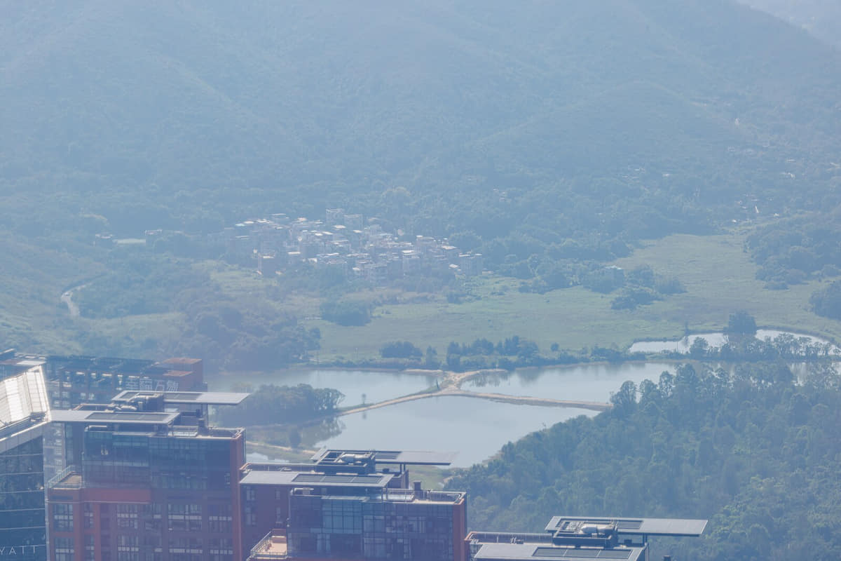
Documentary view of Shenzhen
Photo: Dinkun Chen · source · CC BY-SA 4.0

The short answer

Three days should connect planned civic space and electronics commerce, trace older village and industrial layers, and finish with wetlands, mountains, or the Dapeng coast as part of the same urban system.

A culture-first three-day route

  1. Day 1

    Field route

    Civic Center → urban planning exhibition → Shenzhen Bay

    Civic Center → urban planning exhibition → Shenzhen Bay is a field sequence for comparing Shenzhen's built form, landscape, work, and district or county context. Check current opening hours, weather, transport, safety, and conservation rules before departure.[1][2][3][4]

  2. Day 2

    Field route

    Huaqiang North → factory-neighborhood edge → urban village

    Huaqiang North → factory-neighborhood edge → urban village is a field sequence for comparing Shenzhen's built form, landscape, work, and district or county context. Check current opening hours, weather, transport, safety, and conservation rules before departure.[1][2][3][4]

  3. Day 3

    Field route

    Nantou → Dapeng Fortress → peninsula coast

    Nantou → Dapeng Fortress → peninsula coast is a field sequence for comparing Shenzhen's built form, landscape, work, and district or county context. Check current opening hours, weather, transport, safety, and conservation rules before departure.[1][2][3][4]

Keep the pace realistic

  • Plan days along one or two metro corridors because Futian, Nanshan, Luohu, Longgang, Bao’an, and Dapeng represent very different distances and urban conditions.
  • Read urban villages as lived neighborhoods with housing, work, schools, worship, logistics, and renewal pressures rather than as visual shorthand for informality.
  • Huaqiang North changes by building, floor, product cycle, and time of day; treat it as a working supply network and respect photography and business boundaries.
  • Coastal parks, wetlands, mountain trails, and Dapeng routes are weather-sensitive; verify heat, lightning, typhoon, tide, transport, and access conditions before departure.

What to eat along the way

Six locally specific food records connect ingredients, work, markets, and social routines.

Cantonese dim sum is treated as one named Shenzhen foodway. Ingredients, technique, season, maker, and district or county provenance should be verified instead of inferred from the dish name alone.

Cantonese dim sum

[1][2][3][4]

Hakka stuffed tofu is treated as one named Shenzhen foodway. Ingredients, technique, season, maker, and district or county provenance should be verified instead of inferred from the dish name alone.

Hakka stuffed tofu

[1][2][3][4]

Shajing oysters is treated as one named Shenzhen foodway. Ingredients, technique, season, maker, and district or county provenance should be verified instead of inferred from the dish name alone.

Shajing oysters

[1][2][3][4]

Guangming pigeon is treated as one named Shenzhen foodway. Ingredients, technique, season, maker, and district or county provenance should be verified instead of inferred from the dish name alone.

Guangming pigeon

[1][2][3][4]

Chaoshan food shaped by migration is treated as one named Shenzhen foodway. Ingredients, technique, season, maker, and district or county provenance should be verified instead of inferred from the dish name alone.

Chaoshan food shaped by migration

[1][2][3][4]

Dapeng seafood is treated as one named Shenzhen foodway. Ingredients, technique, season, maker, and district or county provenance should be verified instead of inferred from the dish name alone.

Dapeng seafood

[1][2][3][4]

Why Shenzhen belongs in this collection

Shenzhen adds migration, urban villages, electronics markets, design, civic architecture, wetlands, mountain corridors, and the Dapeng Peninsula. This guide is a planning layer built from the city’s approved atlas profile rather than a booking or ranking page.

Read the complete Shenzhen profile

More Shenzhen planning guides

First-time guideBest time to visitFood guide

Sources and review

Last content update
Image verificationImage rights and place accuracy are approved.
Map verificationMap license, version, and administrative code are verified.

Numbered reference sources

  1. Shenzhen Municipal Government — city overview and public information
  2. Shenzhen — reviewed 2024 population and statistical reference
  3. Ministry of Civil Affairs — Shenzhen county-level divisions
  4. China Meteorological Administration — climate and weather reference
Report a correction